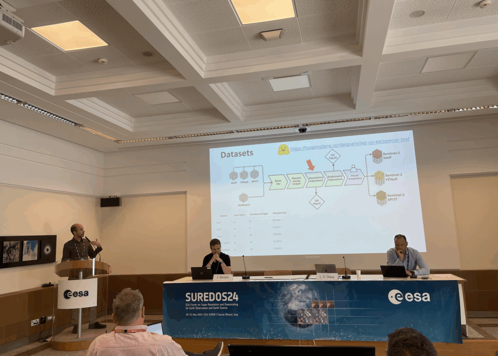
The OpenSR team presented the following:
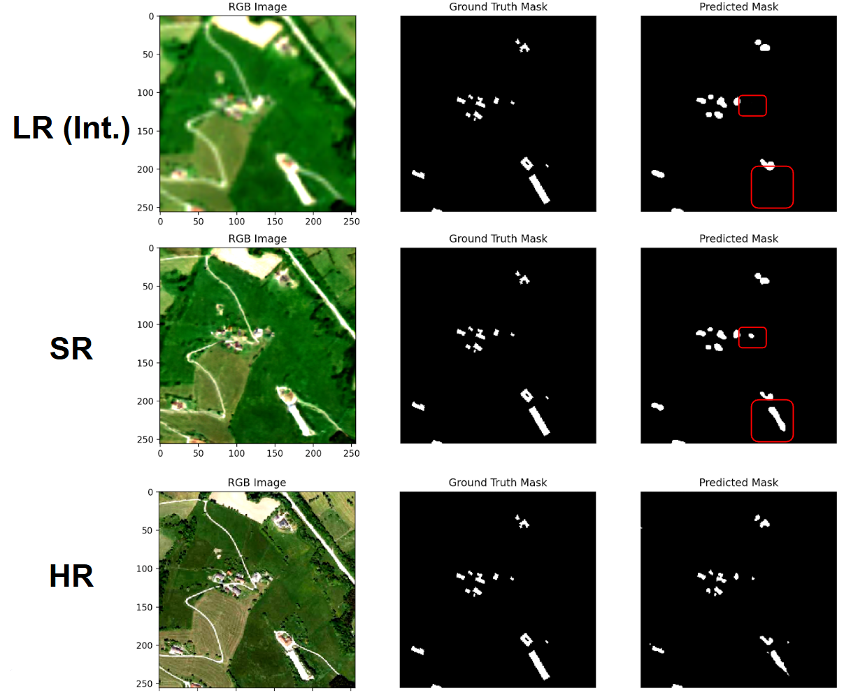
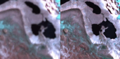
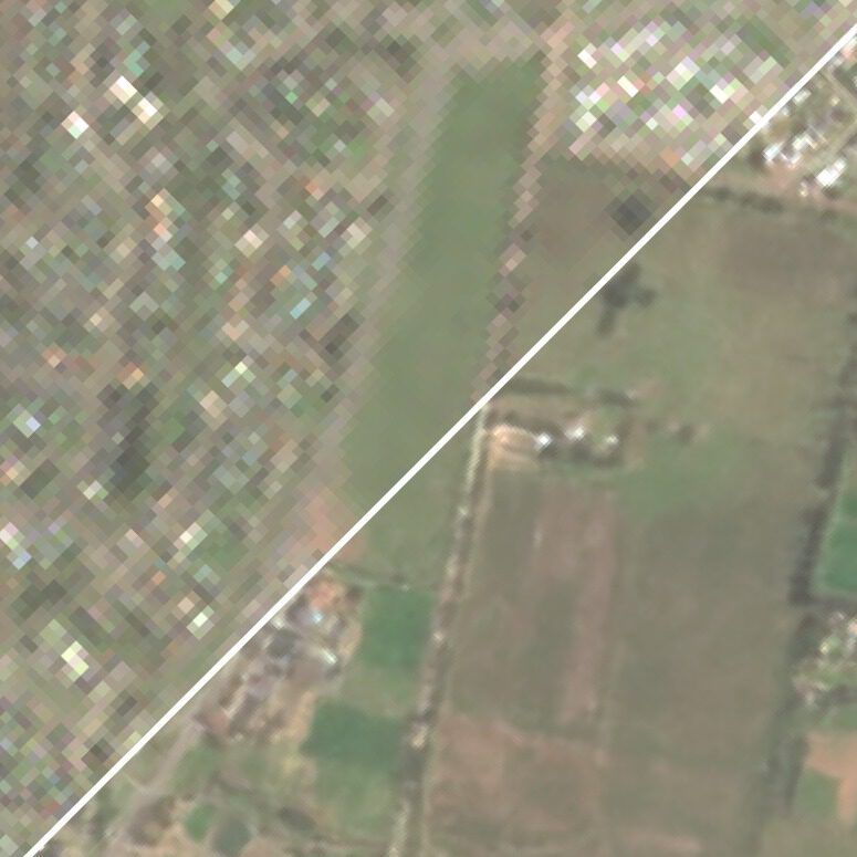
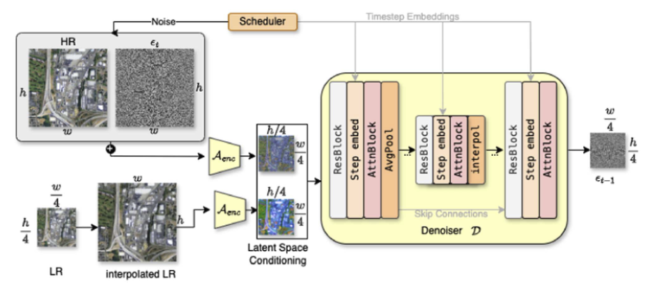
- Simon Donike, “Super-Resolution of Multispectral Sentinel-2 Imagery with Latent Diffusion Models”
- Find the slides here
- Cesay Aybar, “SEN2NAIP: Sentinel-2 Super-Resolution Dataset Using a Realistic Degradation Model”
- Find the slides here
- Nicolas Longépé, Luis Gómez Chova, Gunnar Brandt, Alfredo Kalaitzis, and the OpenSR consortium, “SuperIX: General presentation, dataset and metrics, toolkits and WebGIS portal presentation”
- Find the slides
- Luis Gómez Chova chaired the session 4 on “Super-Resolution Product Quality, Adoption and Downstream Services”
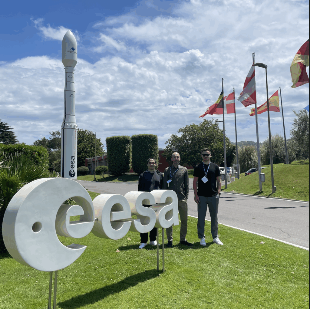
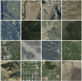
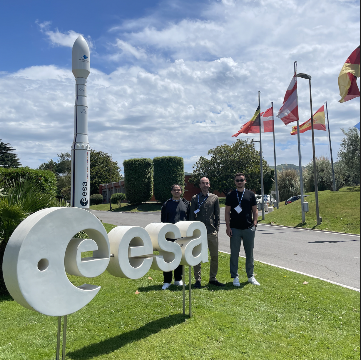
Members of our team recently attended the ESA SUREDOS Workshop, an event dedicated to advancing super-resolution (SR) and downscaling techniques in Earth Observation (EO). The workshop brought together experts from academia, industry, and space agencies to discuss the growing importance of enhancing low-cost, open EO datasets with modern machine learning approaches.
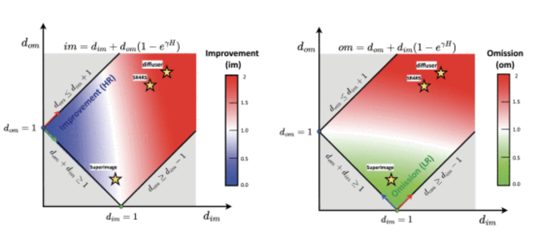
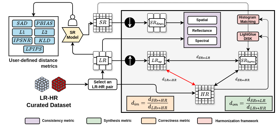
Key topics included the role of SR in bridging the gap between frequent, low-resolution public data and less frequent, high-resolution commercial imagery—enabling better environmental monitoring and decision-making. The event also addressed the increasing use of deep learning methods, including CNNs, GANs, and diffusion models, to enhance spatial, spectral, and temporal resolution in EO. Importantly, the discussion highlighted the need for reliable validation and domain-specific metrics, as conventional image quality measures from computer vision (like PSNR or SSIM) often fall short for scientific applications.
It was a valuable opportunity to exchange insights and reinforce the importance of trust, accuracy, and explainability in the development of SR techniques for Earth sciences.
