The recent flash floods in Valencia, caused by a cut-off low (locally termed DANA), have provisionally left more than 200 fatalities, thousands of damaged vehicles, and severe damage to infrastructure.
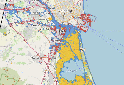
In response, the Image and Signal Processing Group (isp.uv.es) of the University of Valencia has developed a detailed interactive flood extent map using multispectral satellite images (Landsat-8 and Sentinel-2), employing a flood detection model described in a recent article published in Nature Scientific Reports. This machine learning model allows for accurate segmentation of flood extent in optical satellite images and is accessible through ML4Floods.
The flood maps provide a detailed view of affected areas, highlighting the potential of Earth observation technologies for documenting and analyzing large-scale natural disasters.
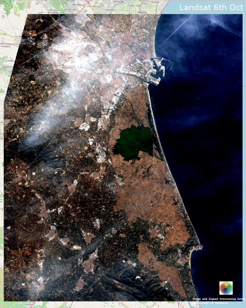
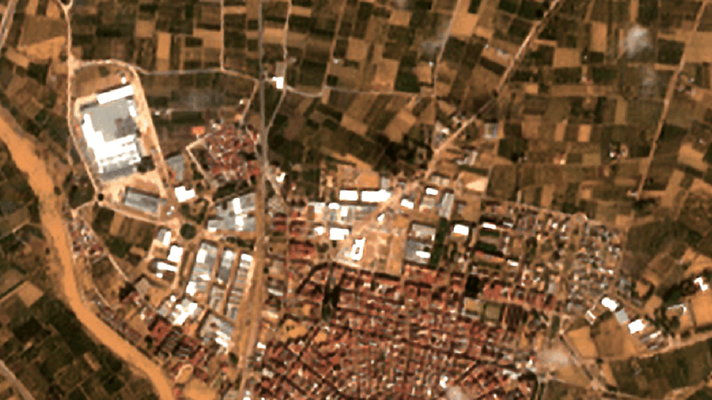
Flood Map - October 31, 2024 (ESA Sentinel-2 + Super-resolution)
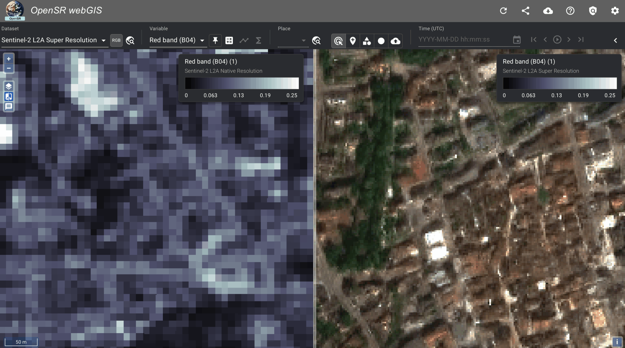
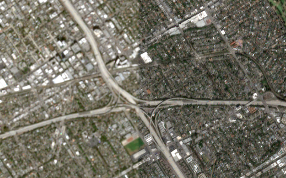
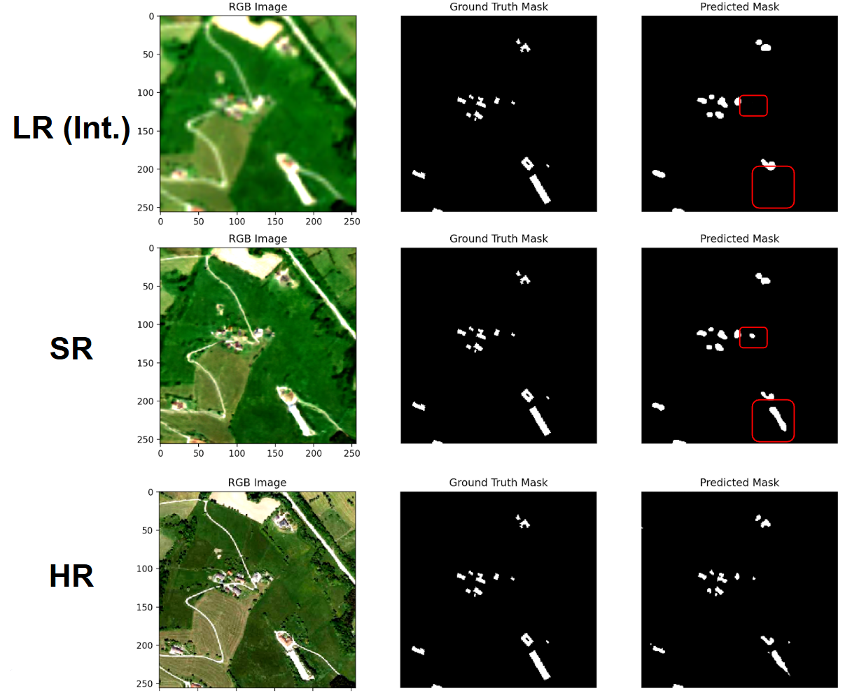
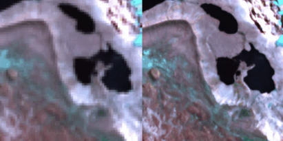
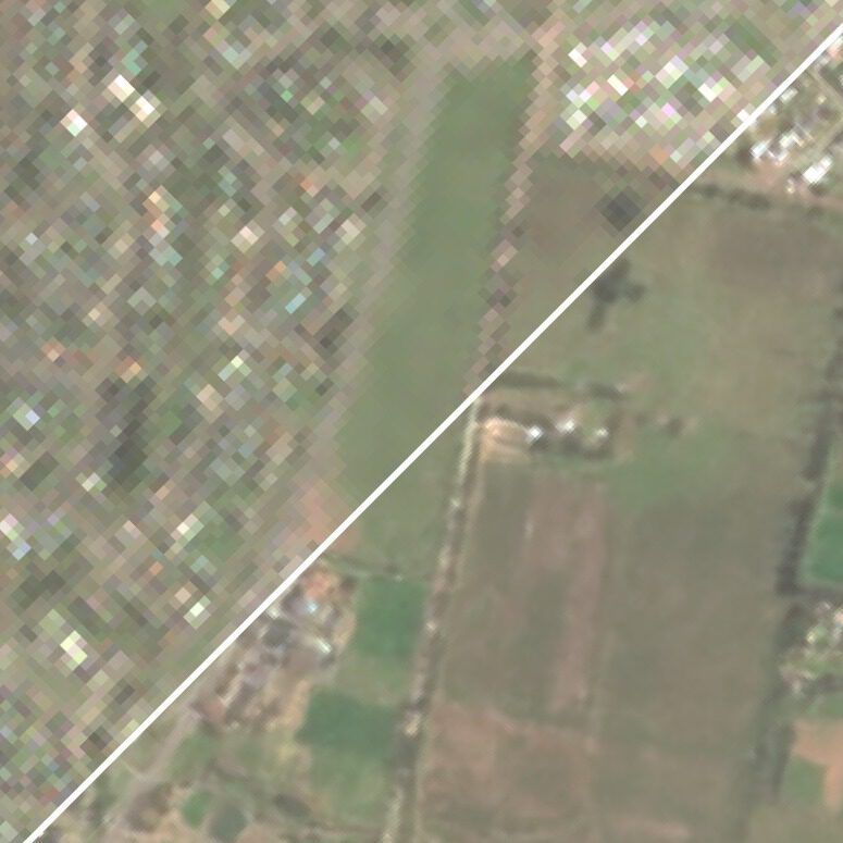
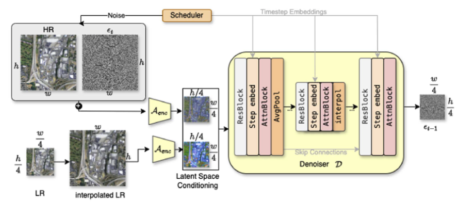
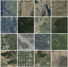
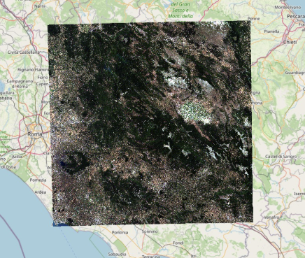
The ESA Sentinel-2 image from October 31st was acquired 2 days after the flood and the water had already receded in some areas. However, Sentinel-2 can provide satellite data with improved spatial resolution (10 and 20 metres) and spectral resolution (12 spectral bands). Furthermore, super-resolution models can potentially improve the effective spatial resolution of optical satellite imagery, which is of utmost importance for performing detailed analysis in such catastrophic events. Therefore, we have applied our super-resolution framework (OpenSR) to effectively upscale Sentinel-2’s 10-meter and 20-meter bands to a uniform resolution of 2.5 meters across all bands.
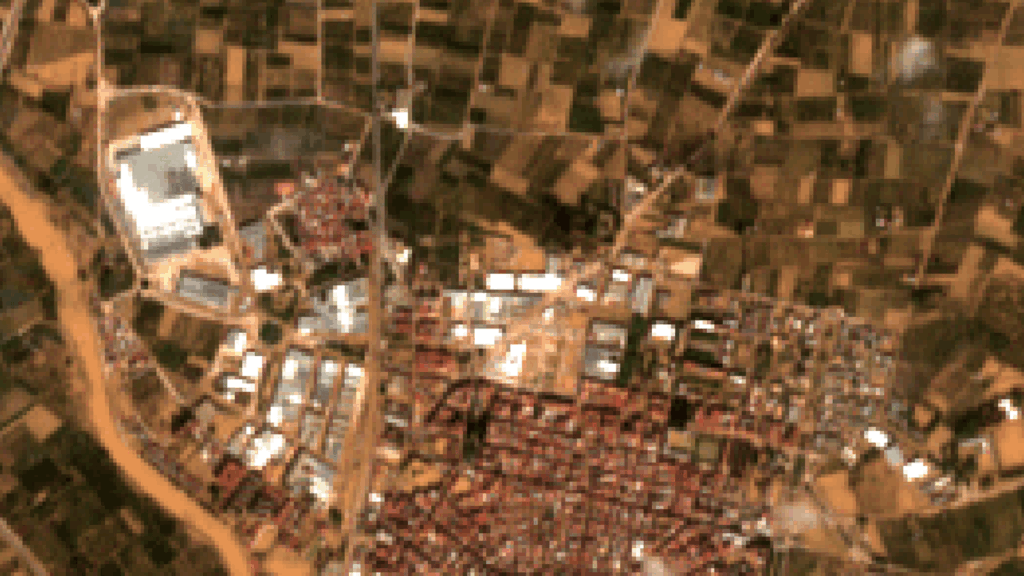
In addition to the improved resolution of 2.5 meters, it is worthnoting that Sentinel-2 provides information at visible, infrared, and shortwave infrared bands, which are critical for the detection of flooded areas.
